
The Source of the Hudson
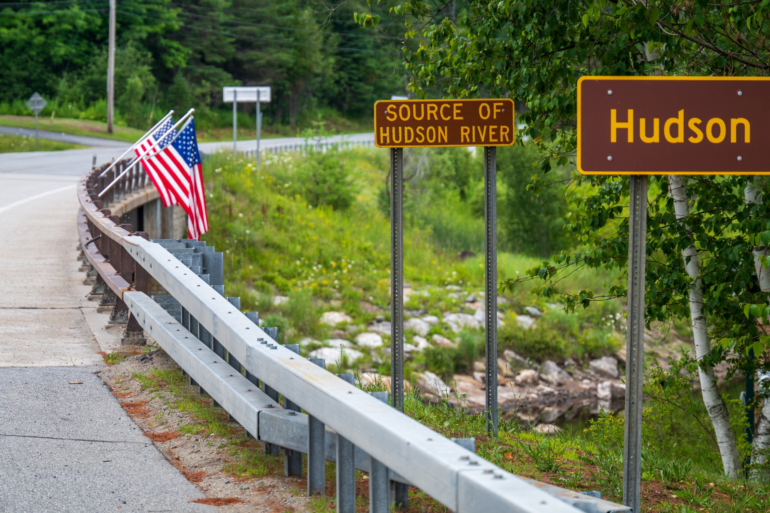
I recently set out to photograph the source the Hudson River, which flows over 300 miles from New York’s Adirondack Mountains to New York Harbor.
Notably, Google maps lists two different “Start of the Hudson River” locations—about 10 miles apart from each other.
Research quickly explained the difference:
The first location was determined by hydrologists and other scientists who study how water moves and distributes across the Earth.
The second location was determined by cartographers who rely on a combination of scientific data, historical usage, and official naming authorities when creating maps.
The official source of the Hudson River, identified by hydrologists, is Lake Tear of the Clouds, on the slopes of Mount Marcy, New York's highest peak.
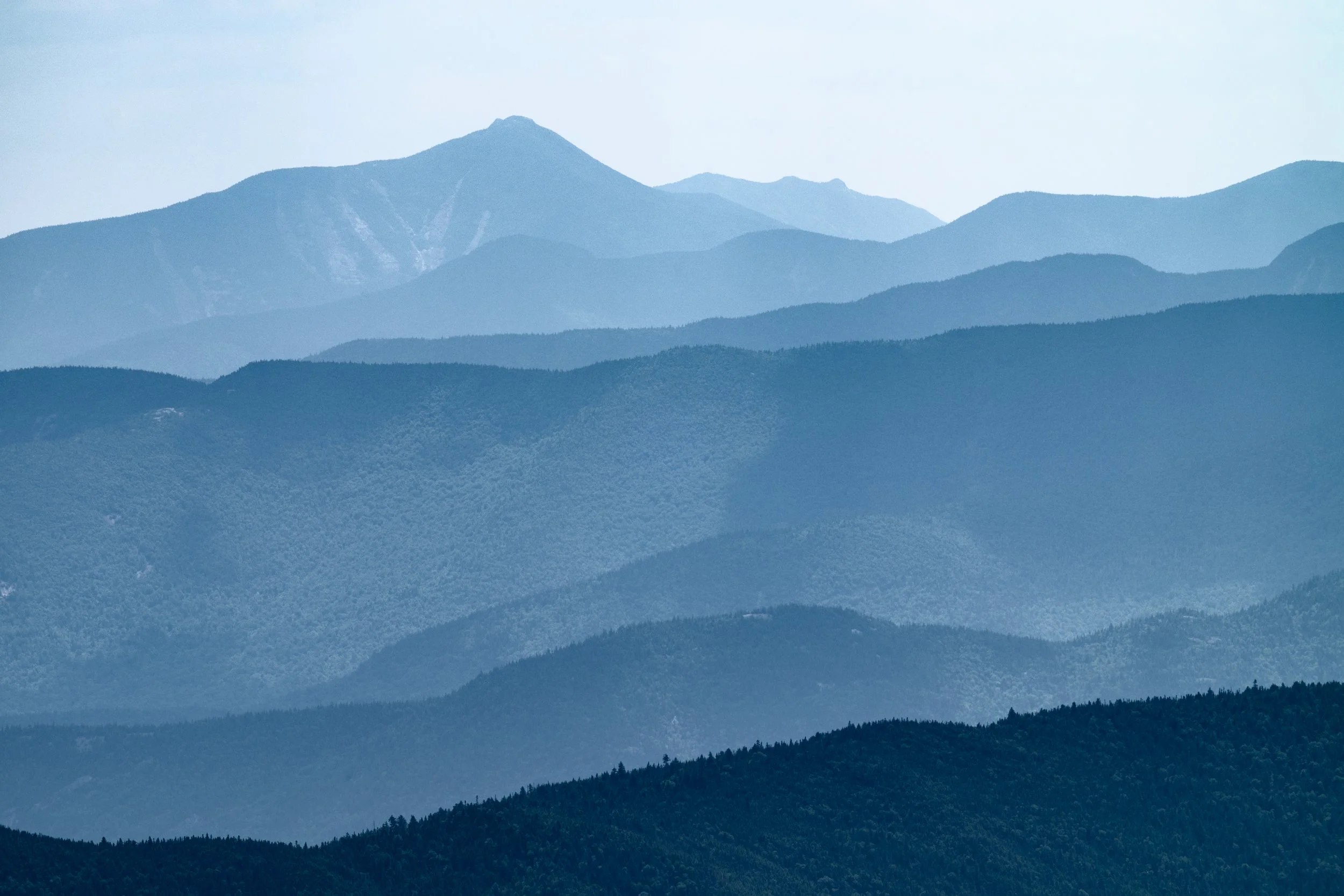
A view of New York’s High Peaks Wilderness region. © Kevin Suttlehan
The only way to get to Lake Tear of the Clouds, however, is a strenuous 15 to 17-mile round-trip backcountry trek. Below are several interactive Google maps of the region.
From Lake Tear of the Clouds, “Hudson” water first flows into Feldspar Brook, then into the Opalescent River and finally, into the waterway labeled by cartographers as the Hudson River, as shown in the following map.
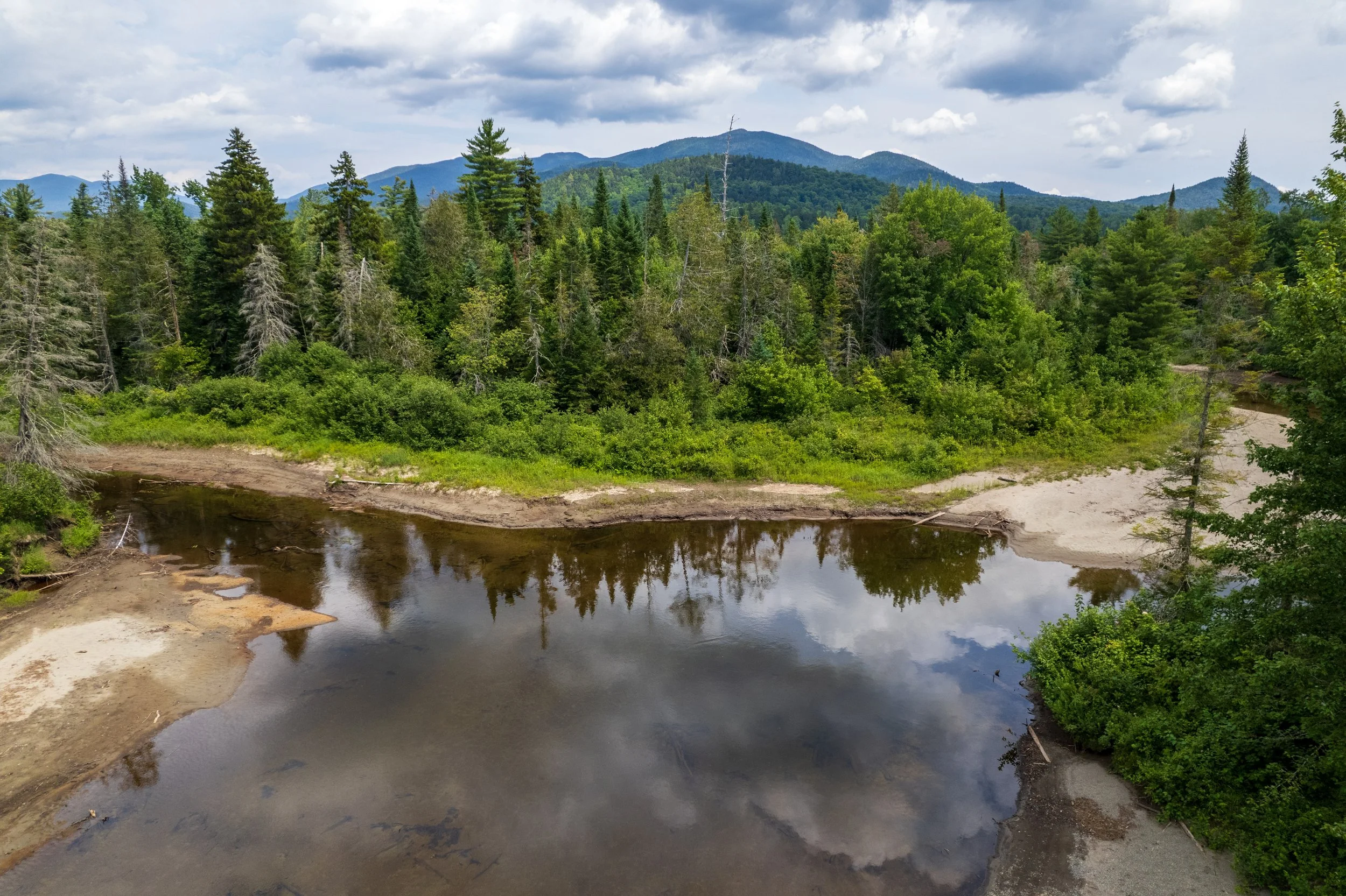
The confluence of the Hudson River (on the left) and the Opalescent RIver (on the right). © Kevin Suttlehan
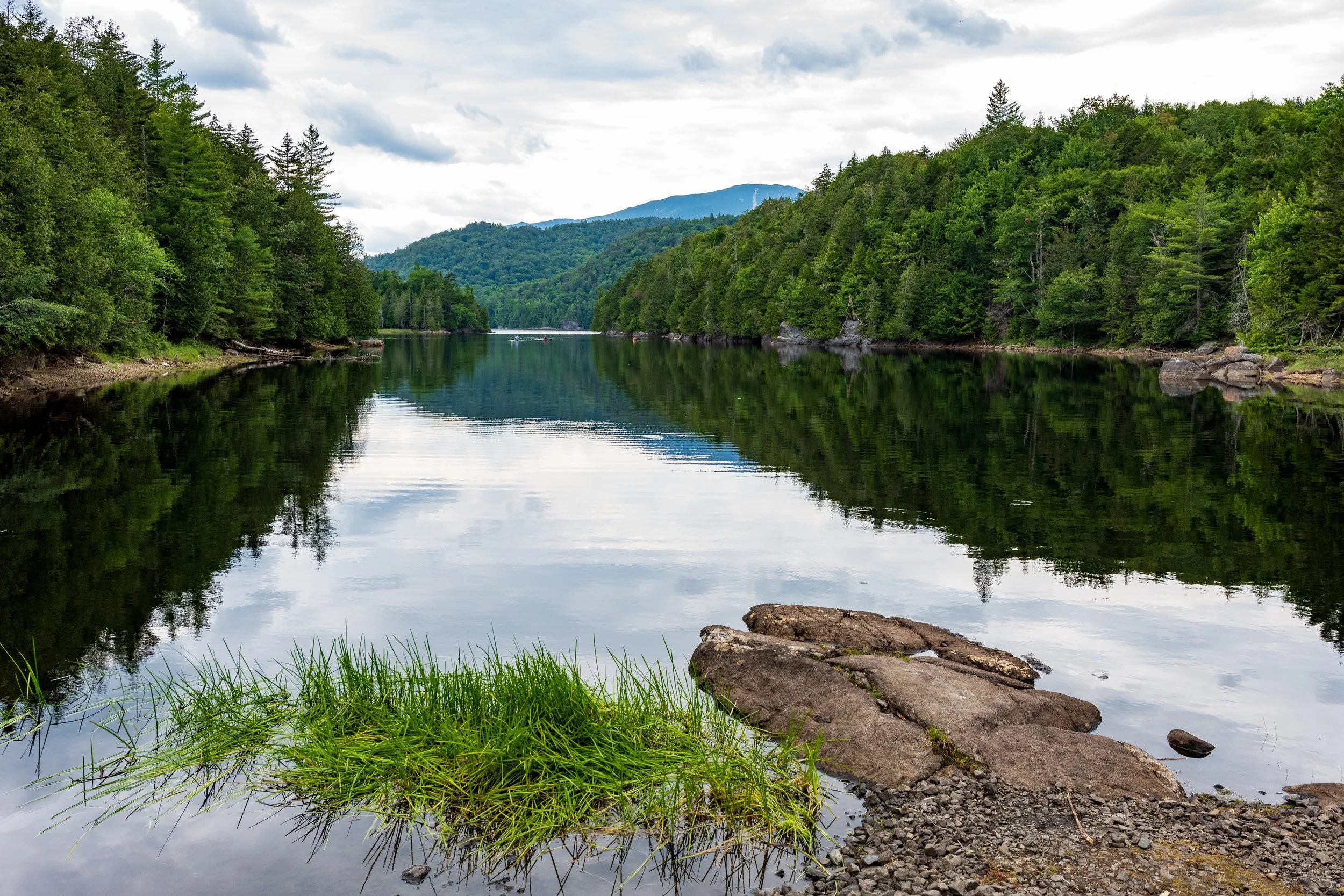
Five miles upstream from where the Opalescent River intersects with the Hudson is Henderson Lake, from which the named Hudson River begins to flow. © Kevin Suttlehan
Note that this location is much more accessible than Lake Tear of the Clouds. (Navigation tip: if your are relying on GPS to get anywhere in the region, it is important to download a digital map of the entire region before leaving home—cellular service is extremely limited. See: How to download areas & navigate offline in Google Maps.)
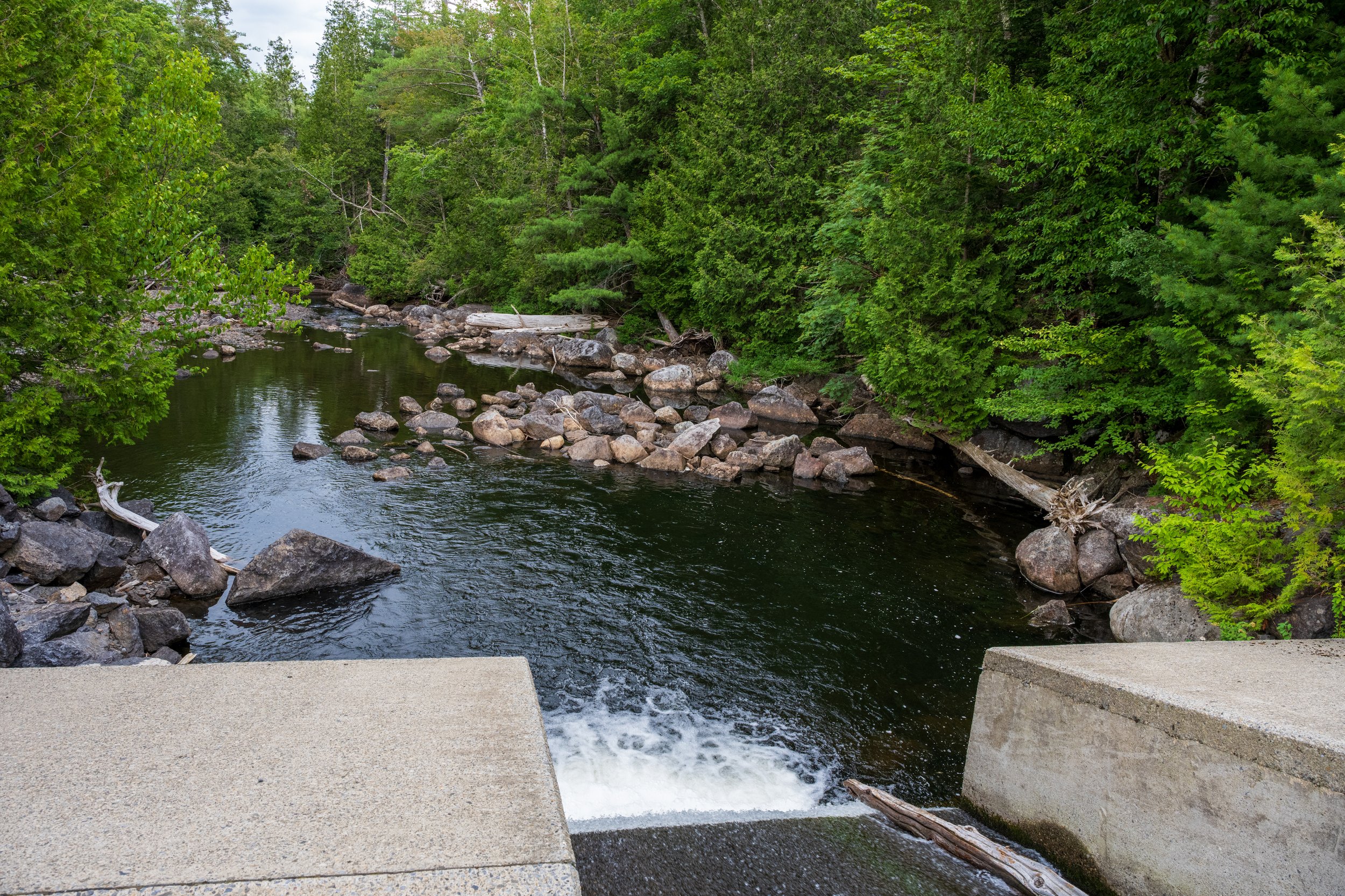
Water flows out of Henderson Lake and begins its 300-mile journey south to New York Harbor. © Kevin Suttlehan
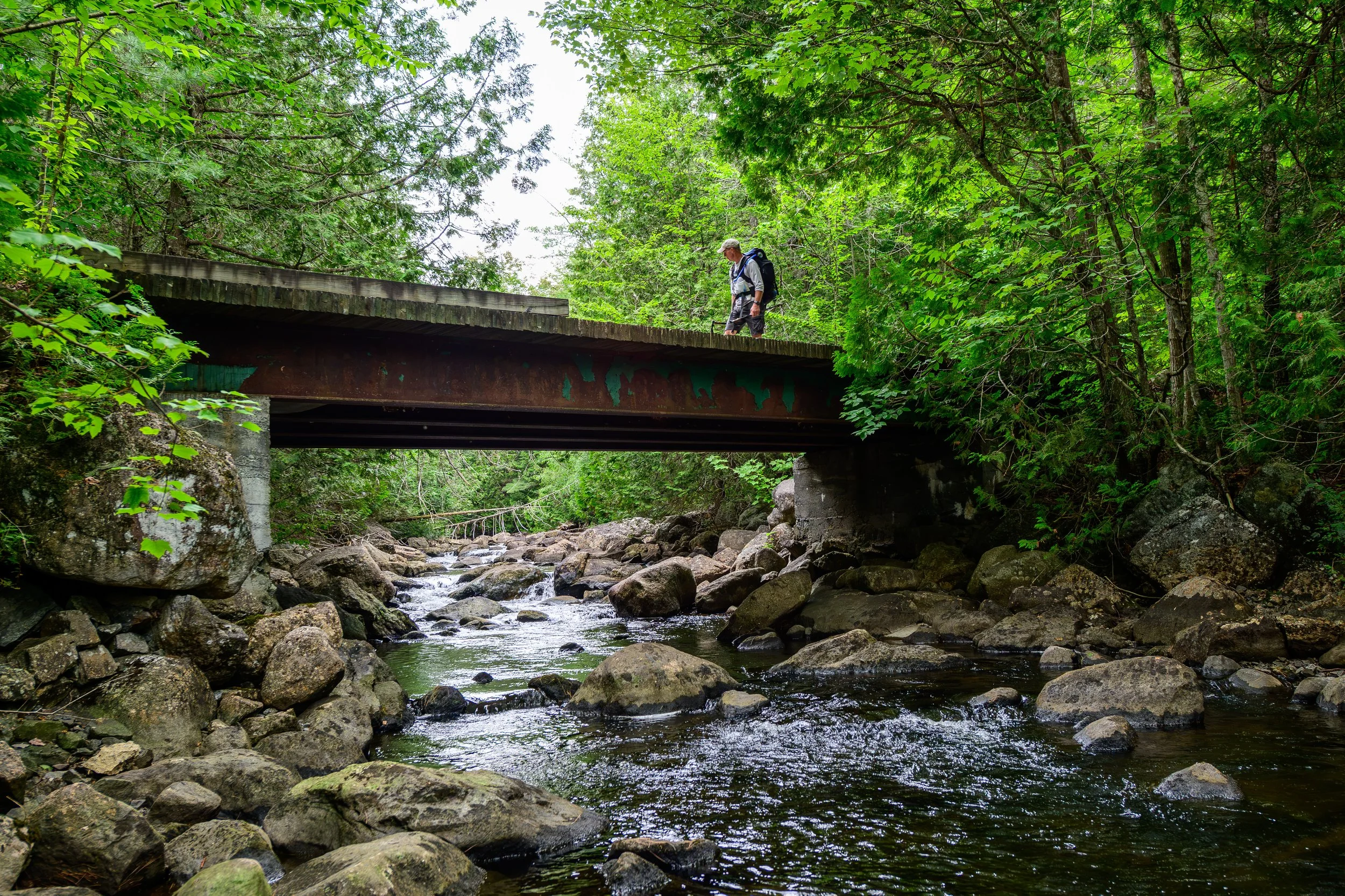
A short distance downstream, the Hudson passes beneath the first of 66 bridges on its journey to New York City and the Atlantic Ocean. © Kevin Suttlehan
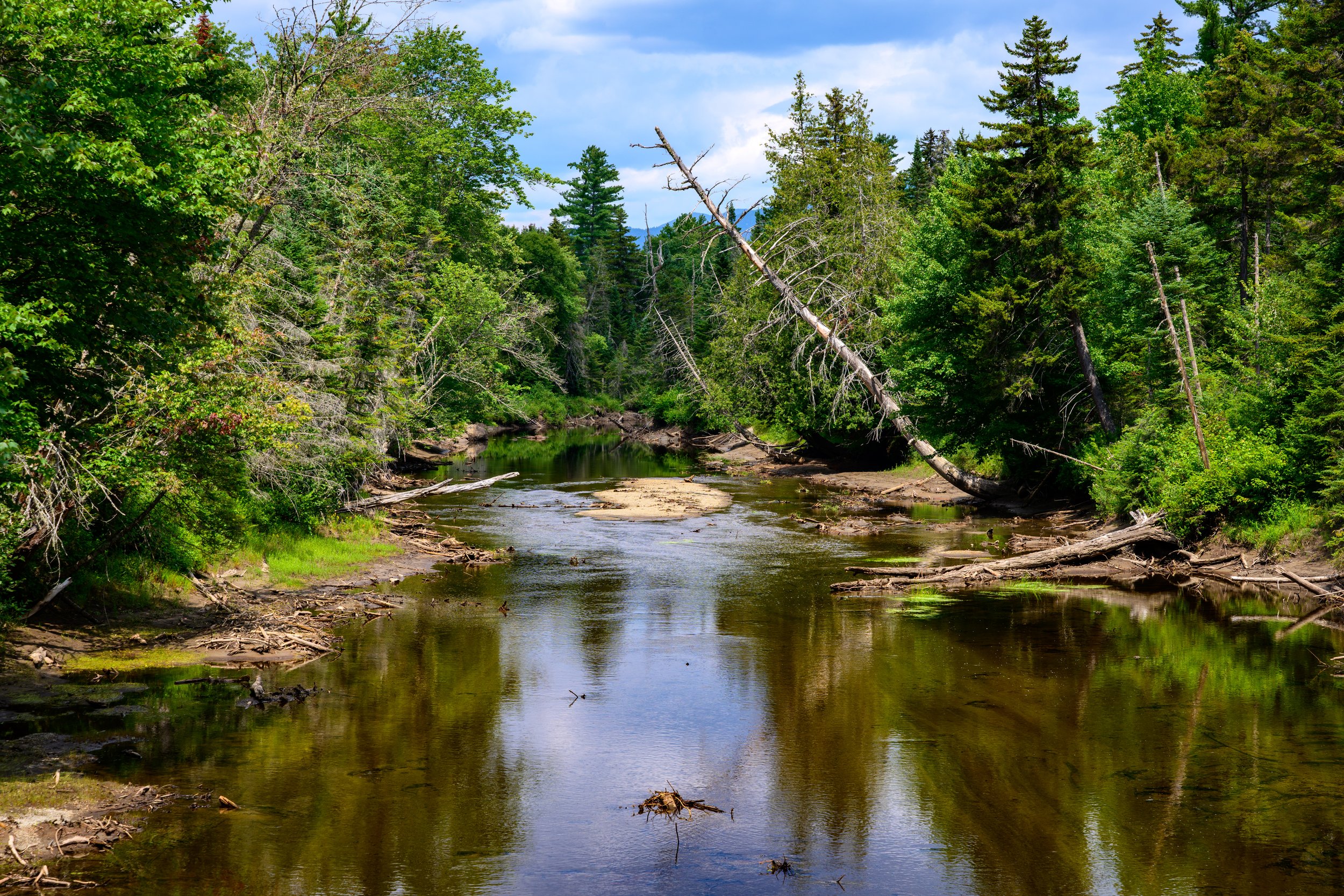
The river winds its way through the dense forrest near Newcomb, NY. © Kevin Suttlehan
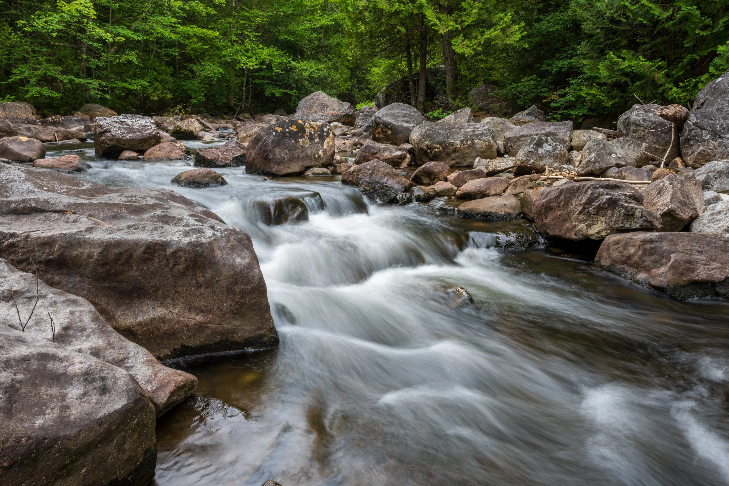
© Kevin Suttlehan
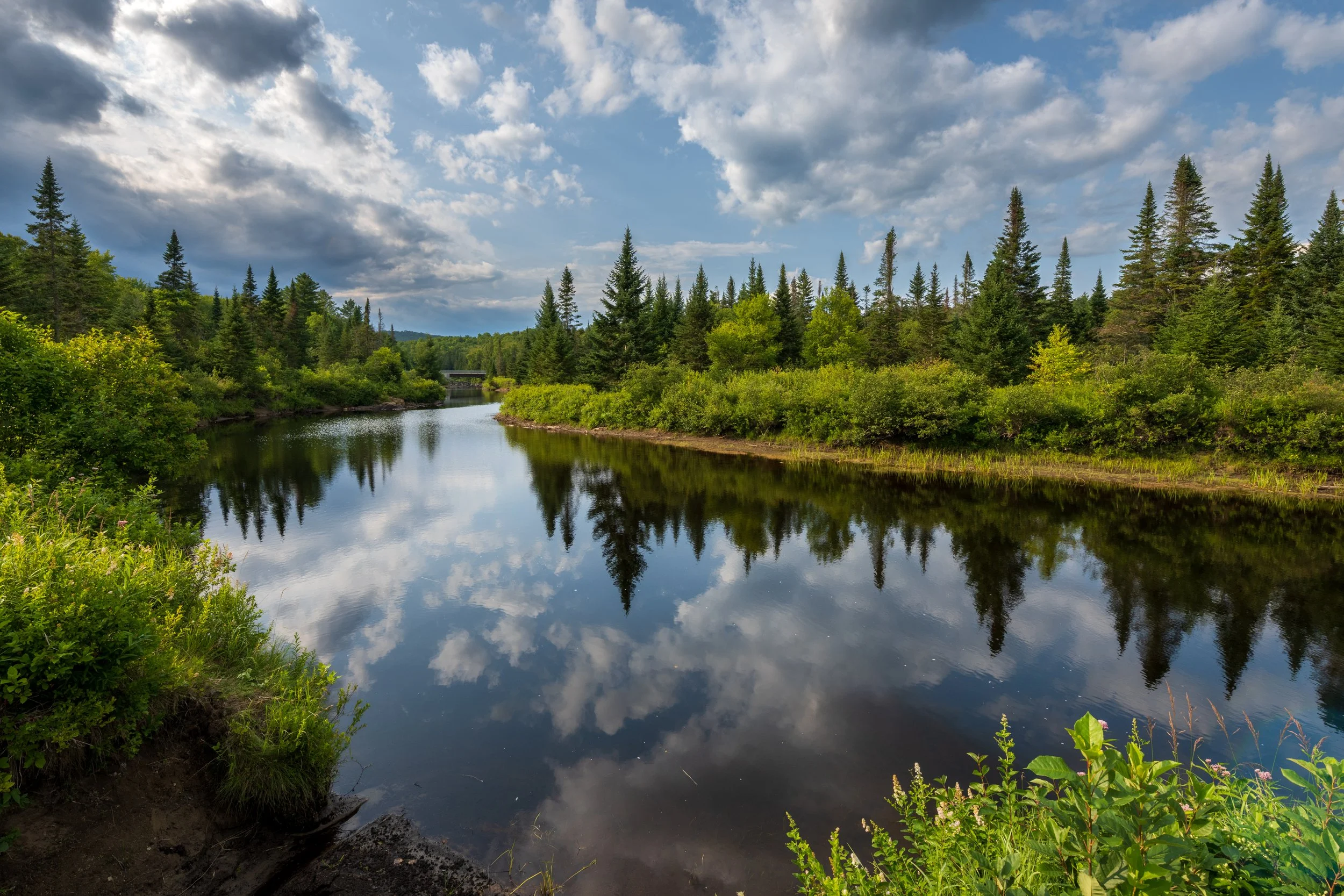
One of the few sections of the Hudson River where it flows northwest before it turns again to the south. © Kevin Suttlehan
Continuing Down the Hudson
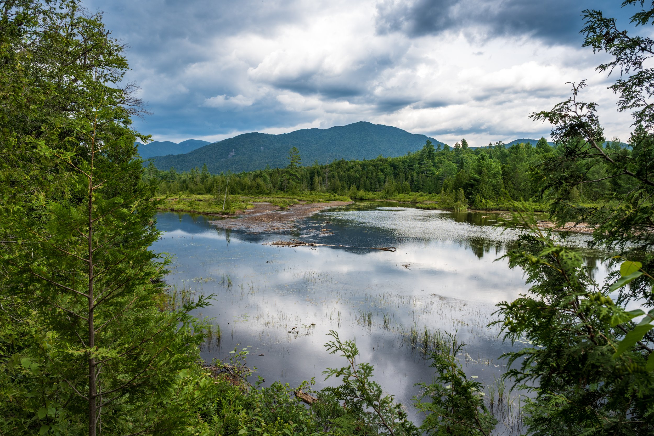
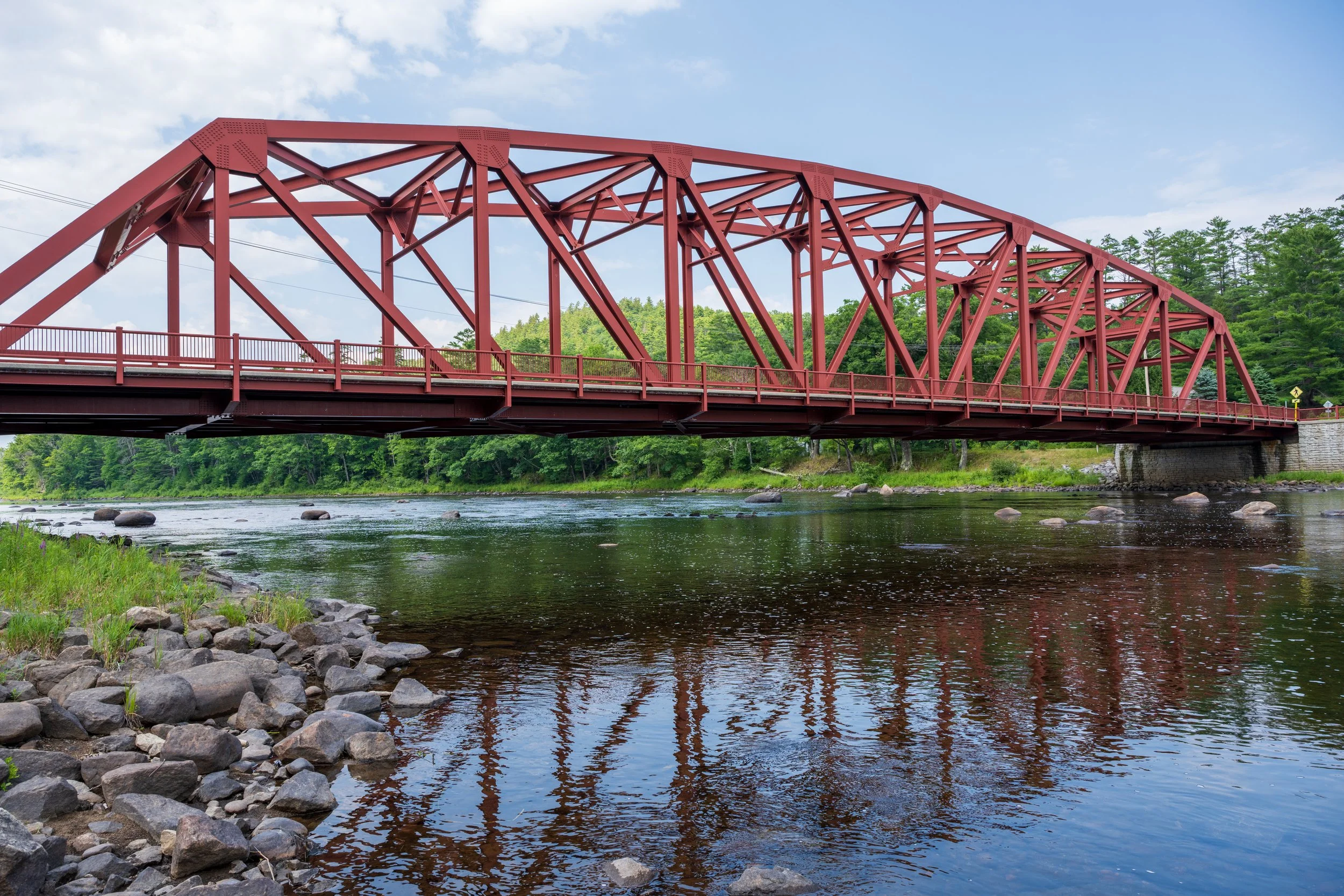
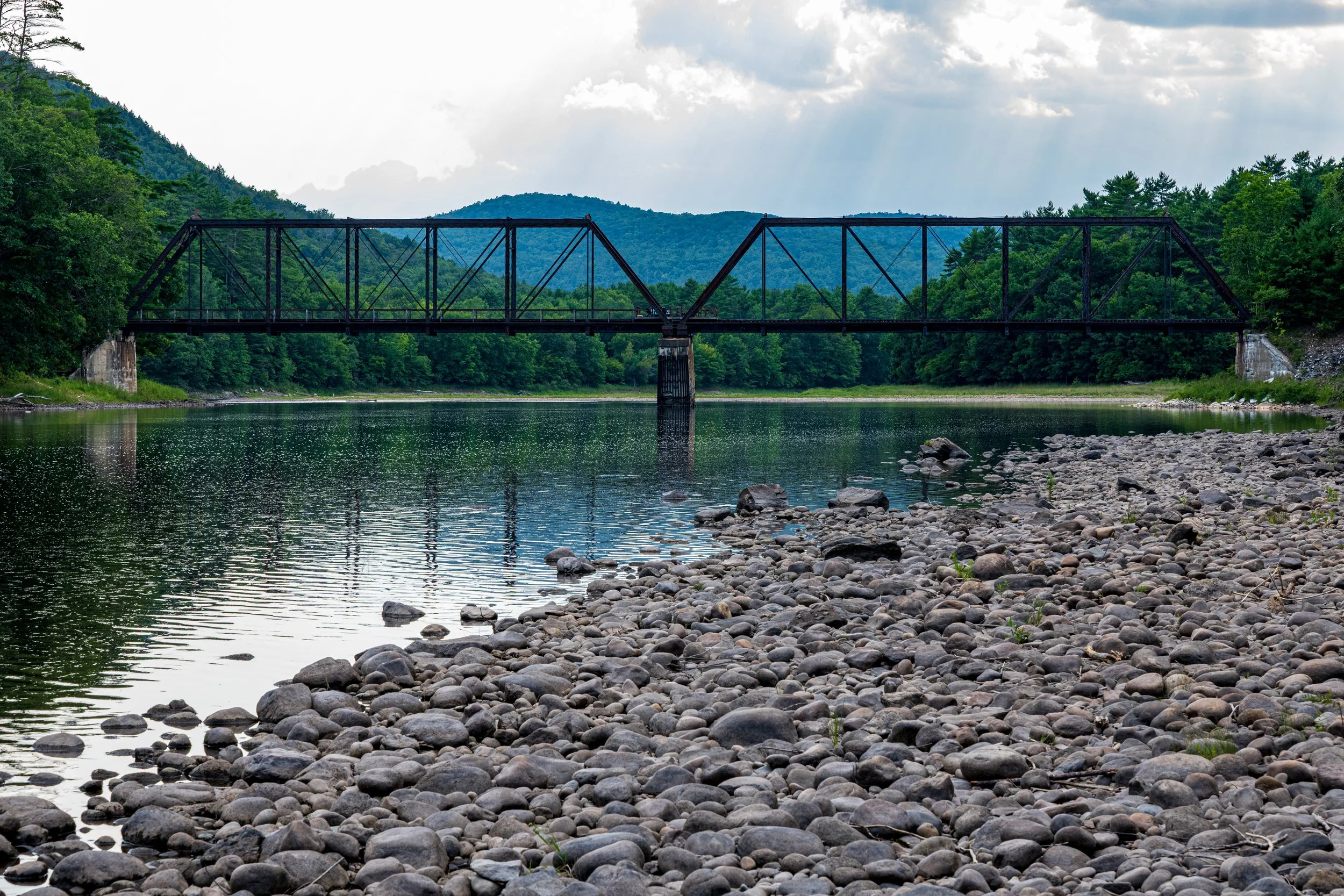
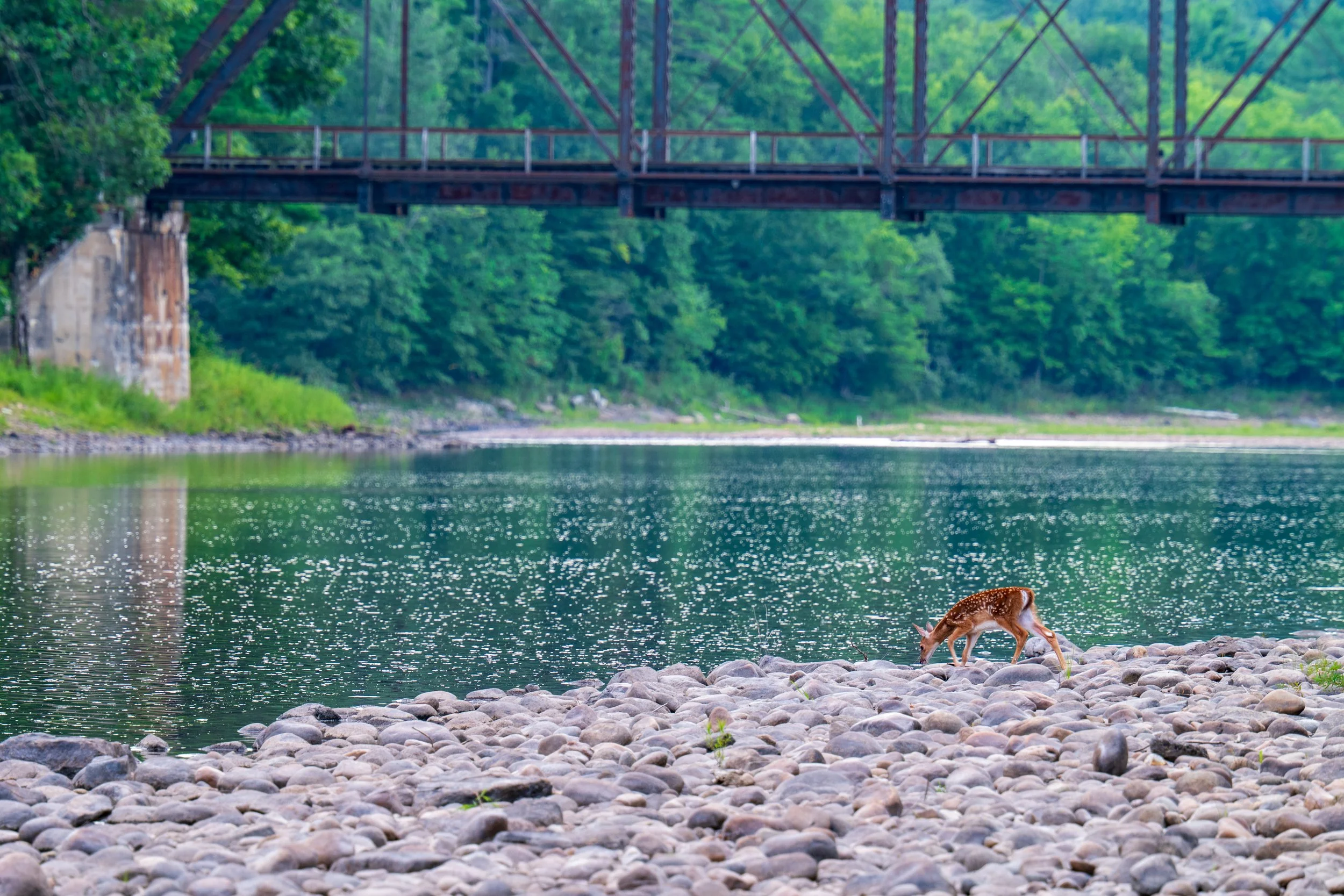
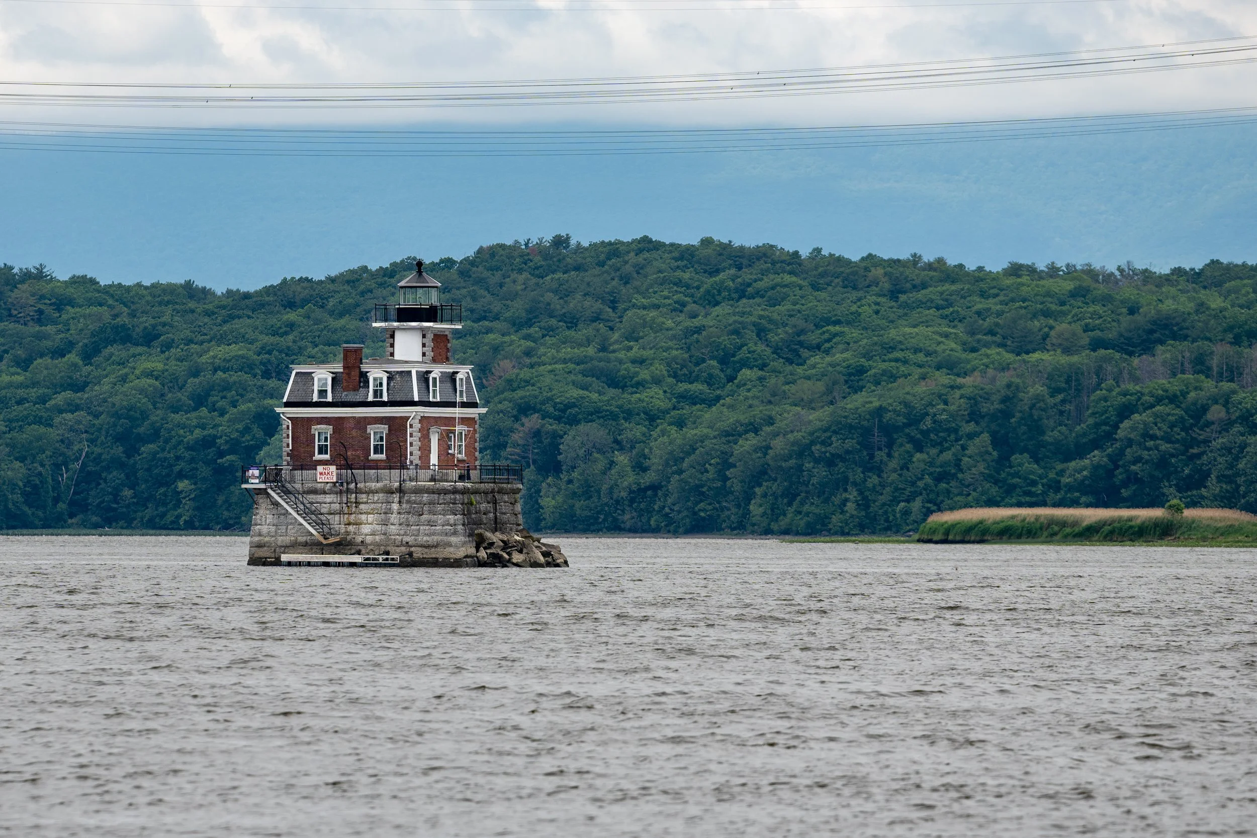
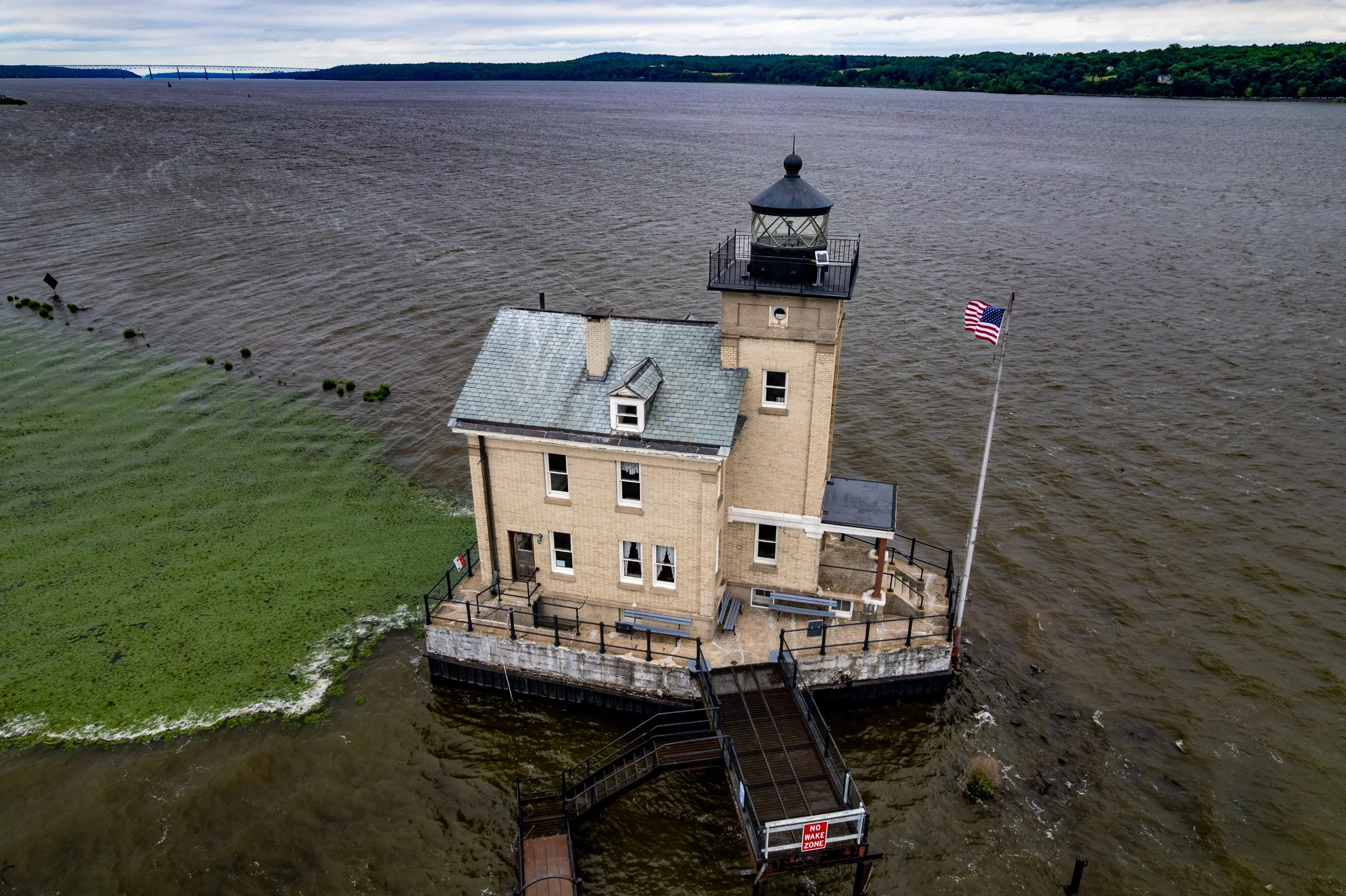
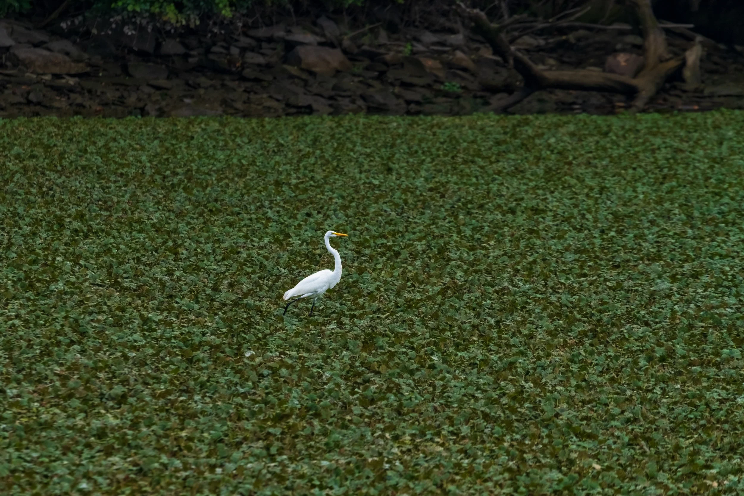
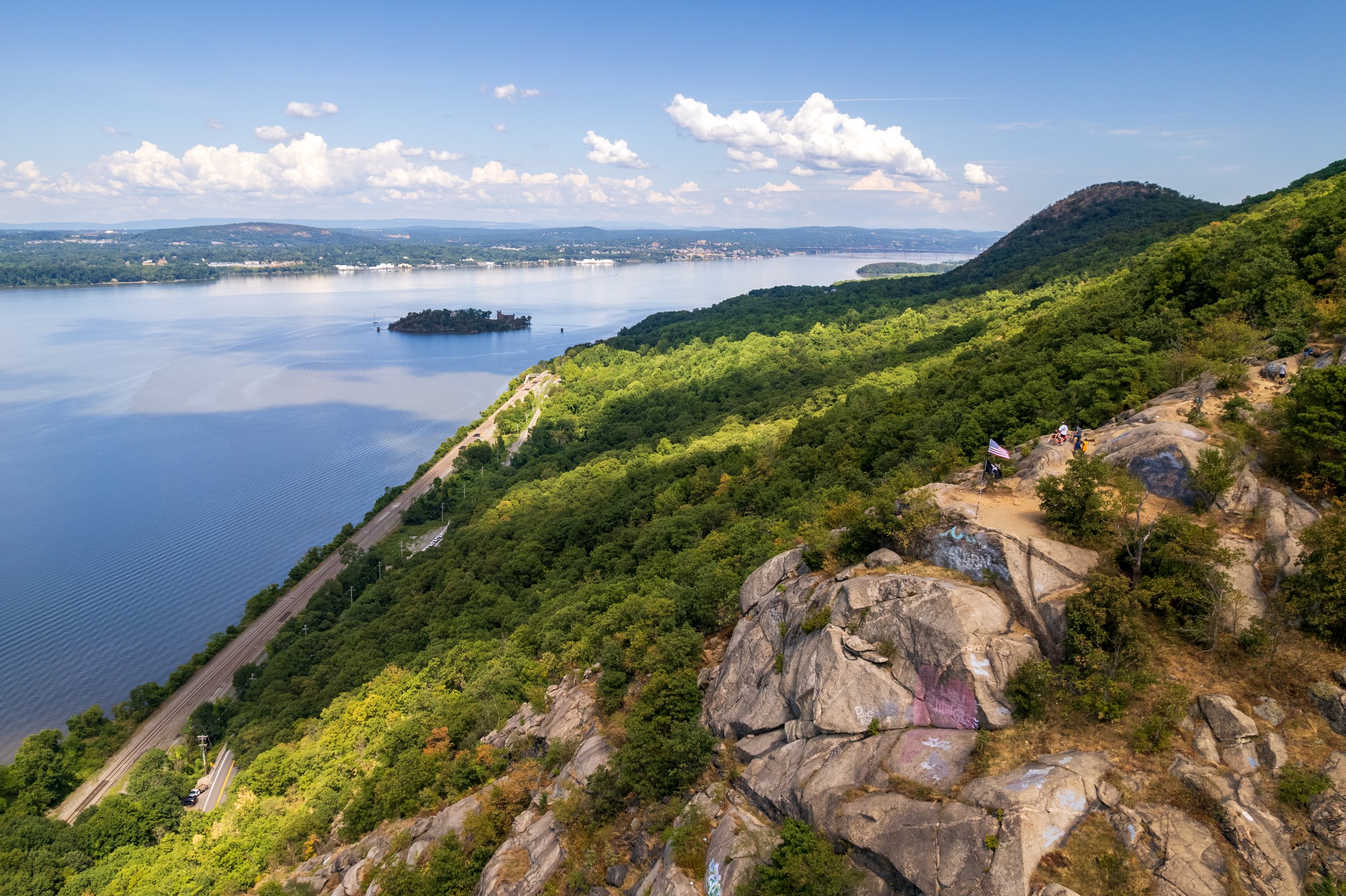
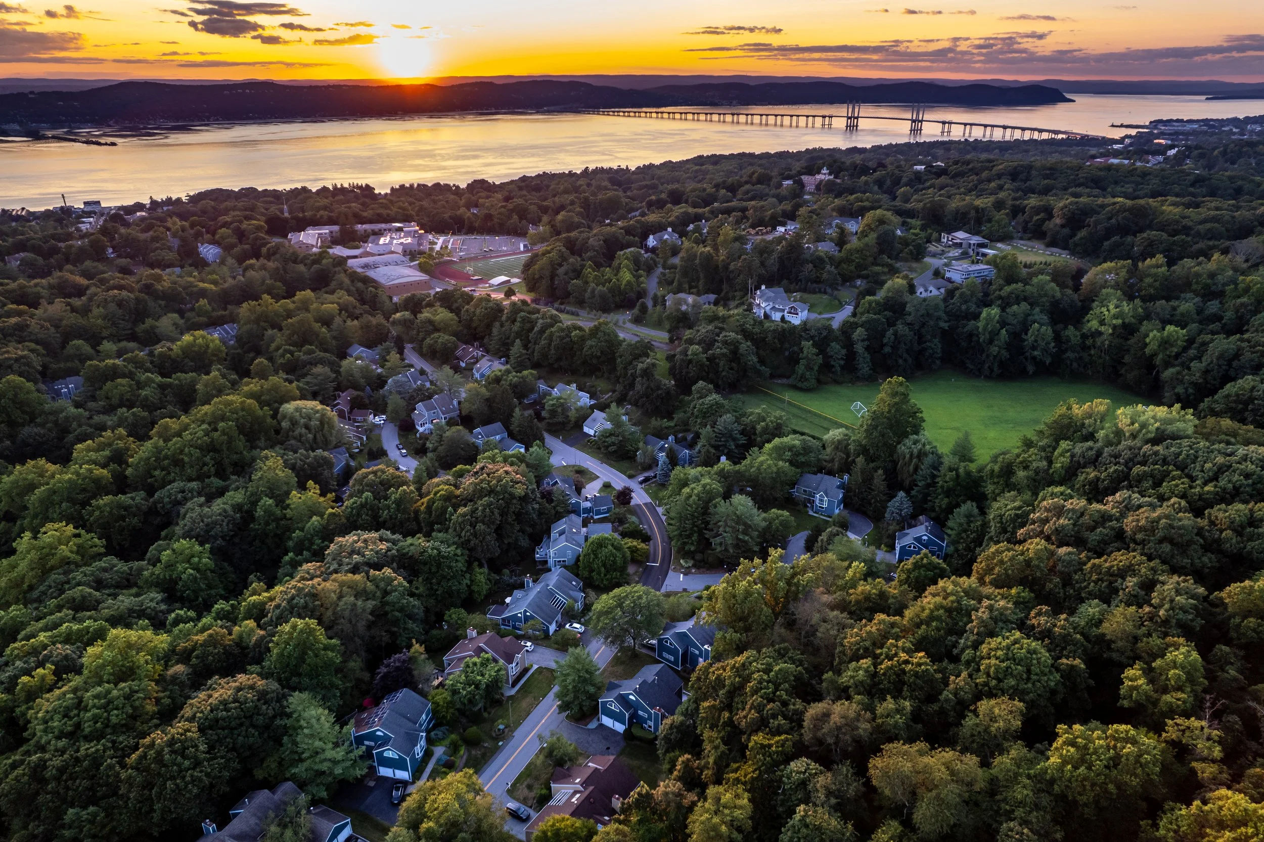
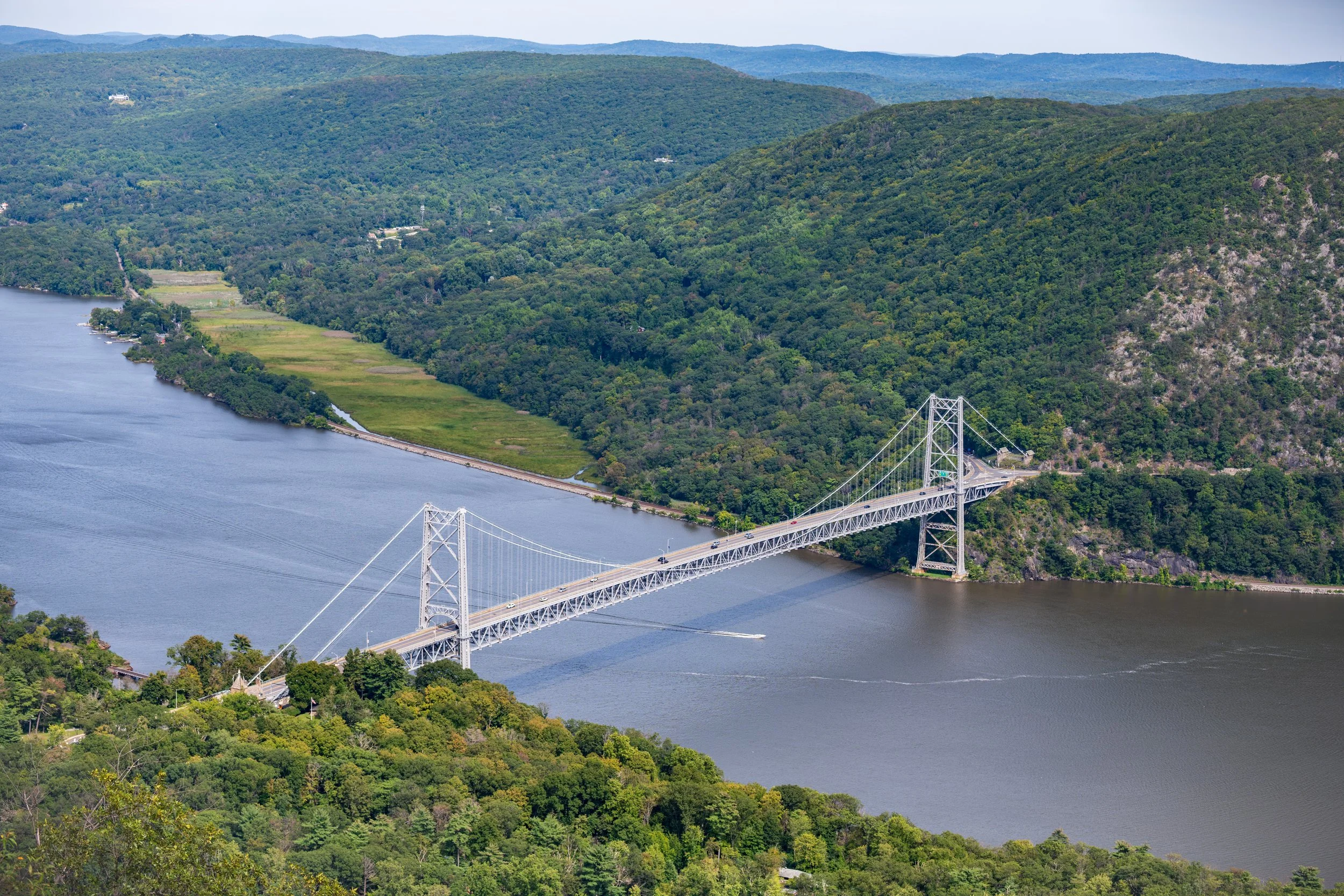
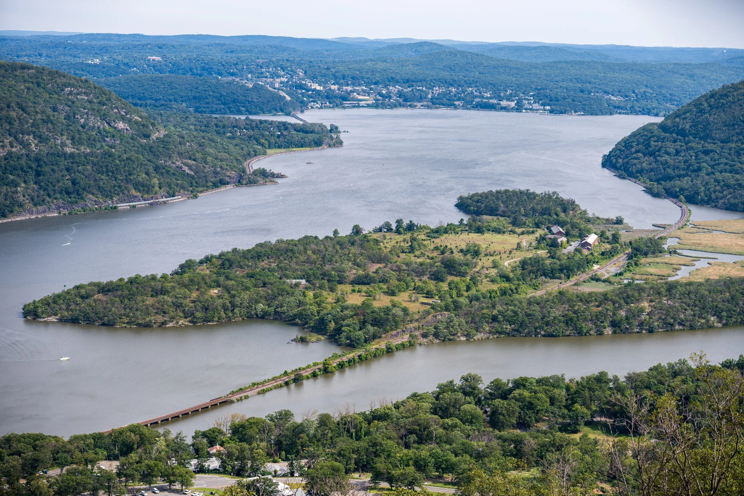
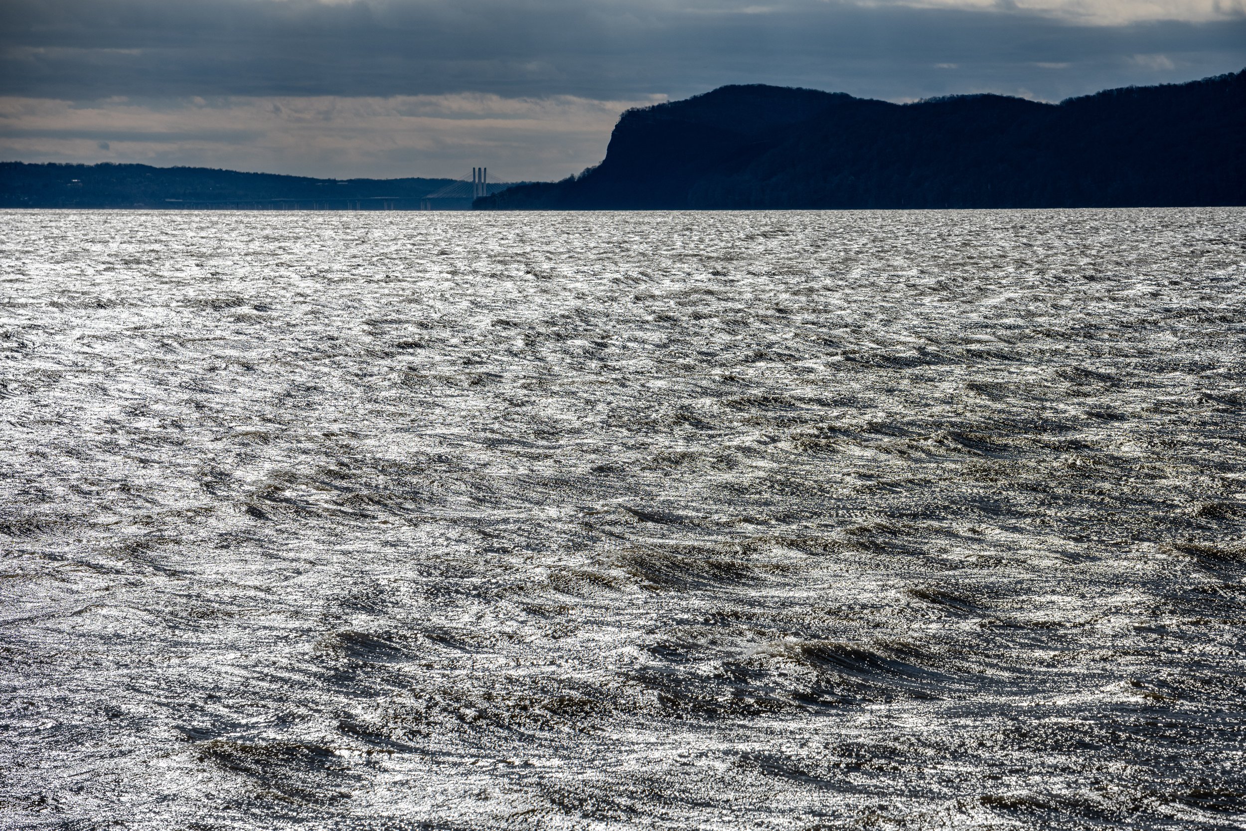
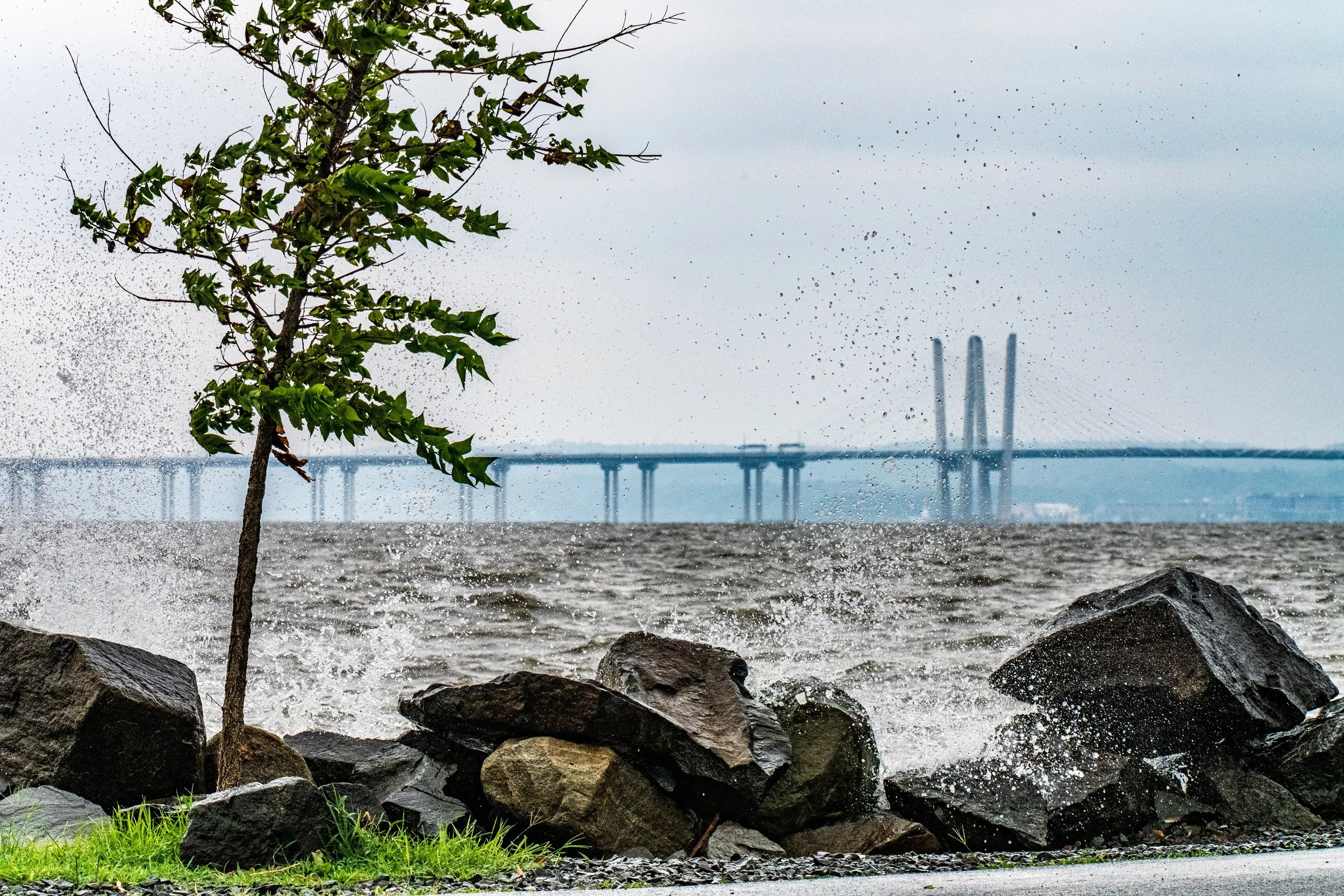
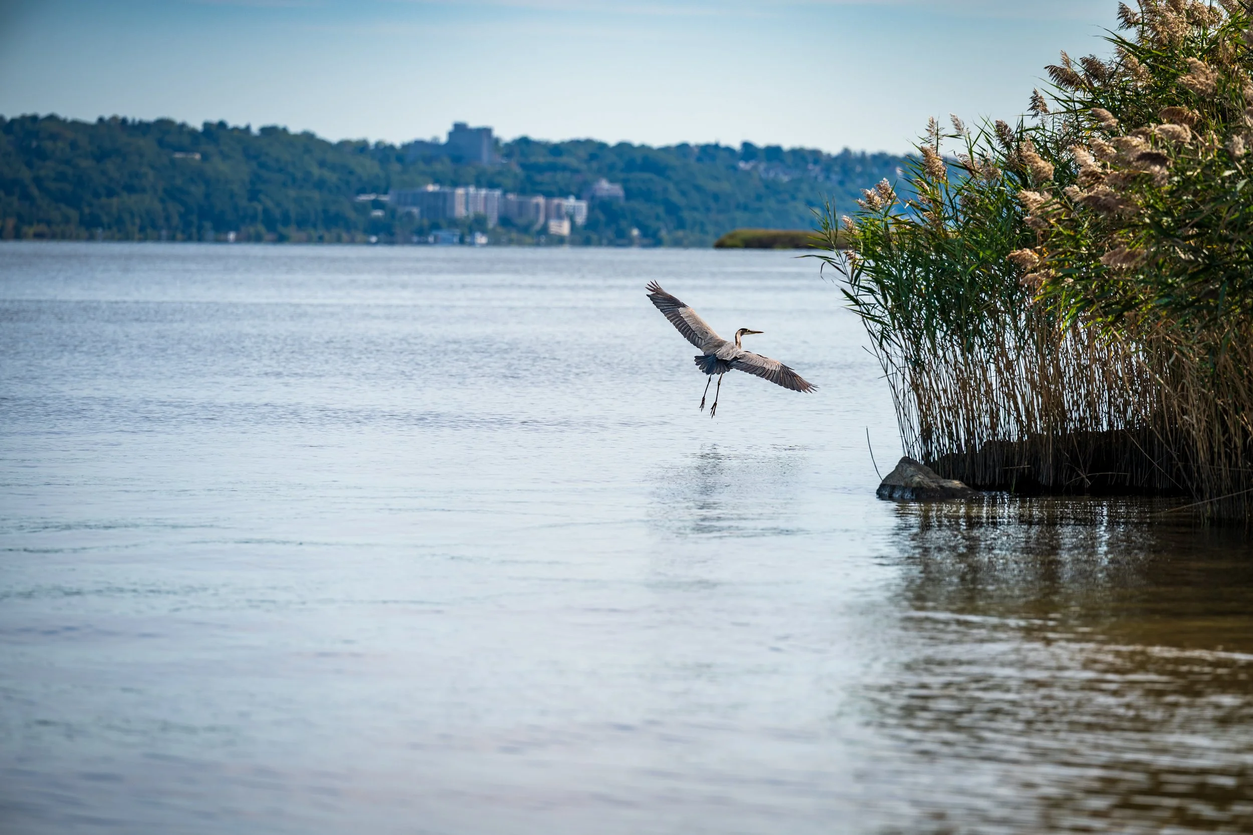
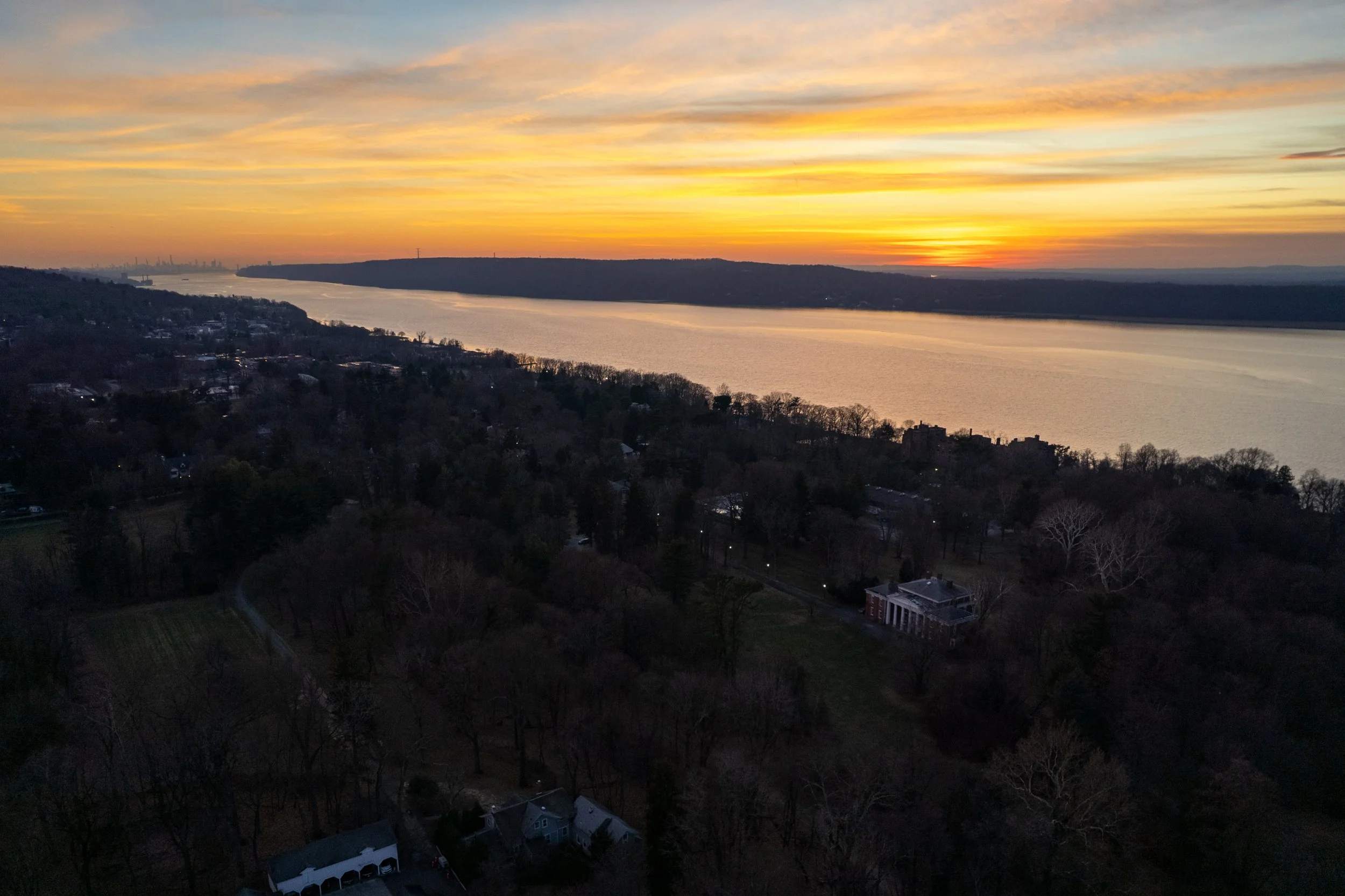
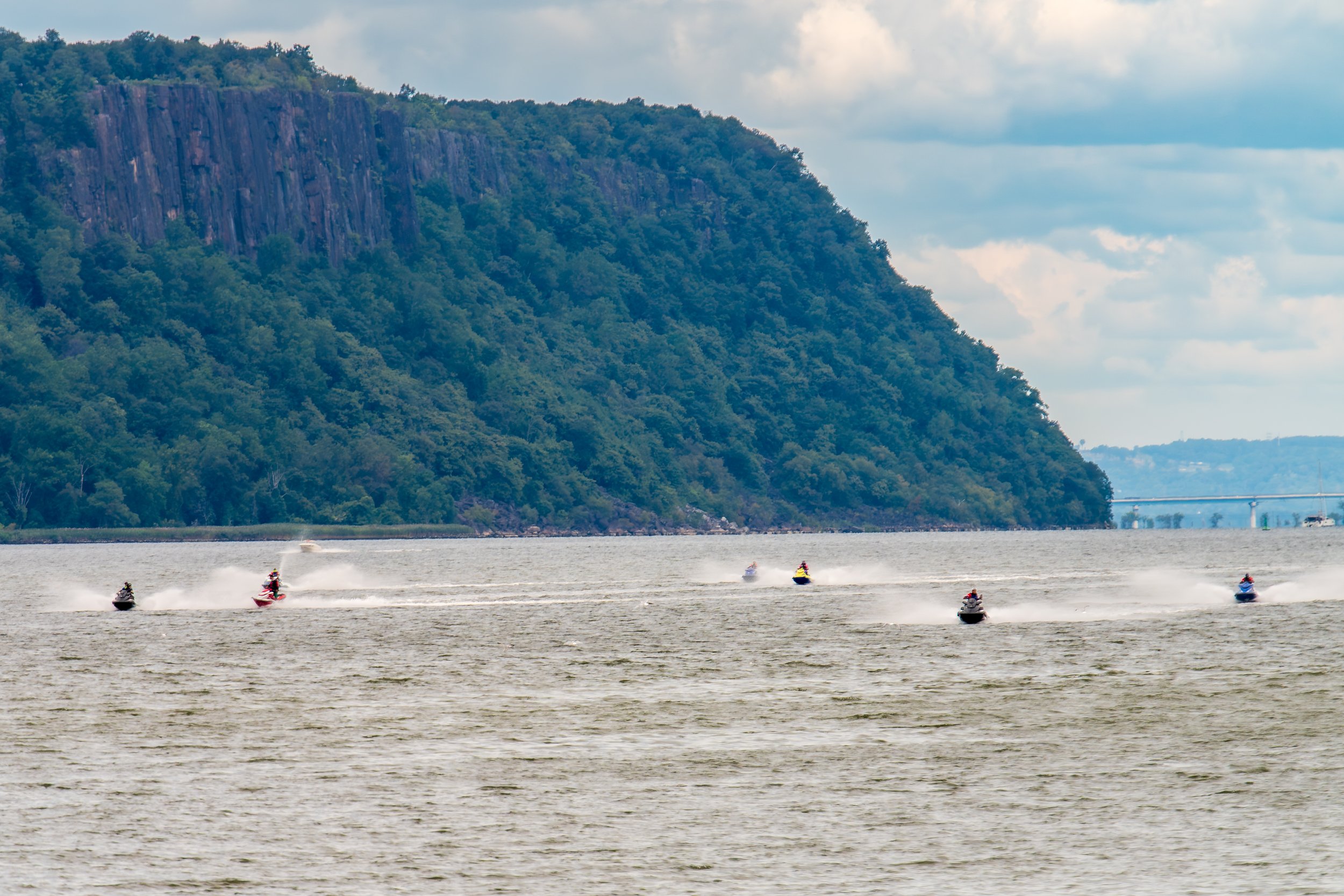
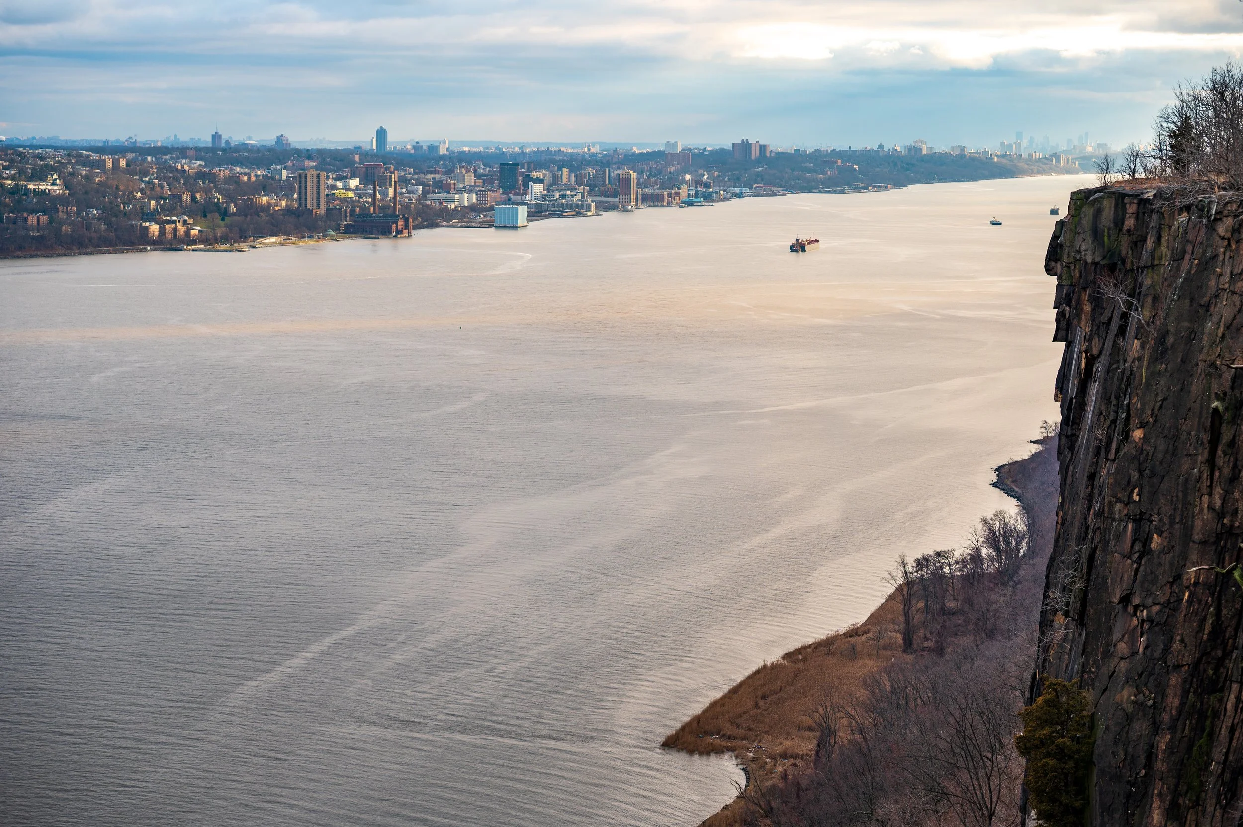
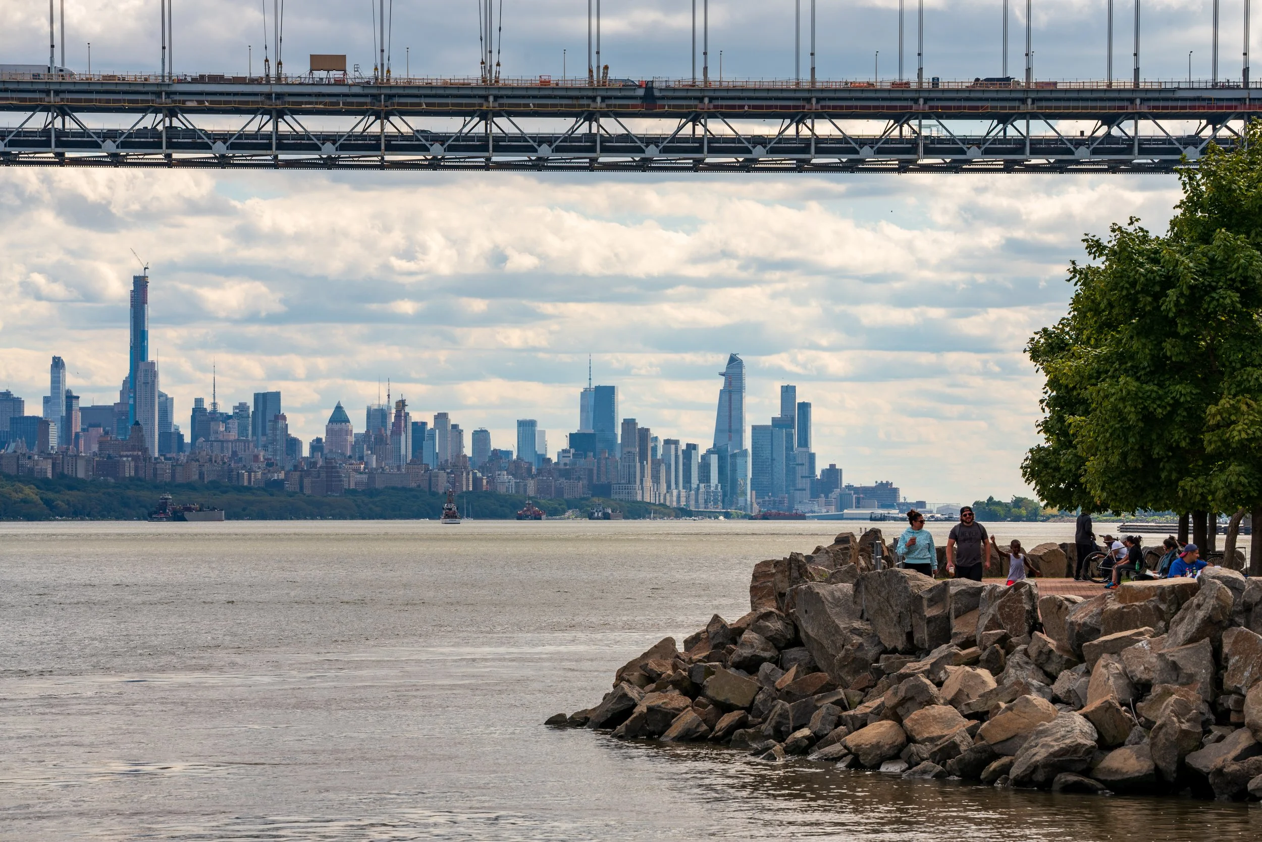
All photos: © Kevin Suttlehan
About Us
We are a New York-based photography services company specializing in crafting visual narratives for nonprofits and nongovernmental organizations (NGOs).
Our expertise:
Documentary-style photography and videography
Drone photography and videography
Disaster response photography
Visual campaigns for fundraising and advocacy
Event photography and videography
Headshots and environmental portraits